We took our new dinghy and motor out for a spin yesterday. Yamaha suggests a break-in schedule for the motor and we were working on phase 2. We can tell already that this dinghy is going to be much faster and we haven’t yet had the motor above half-throttle.
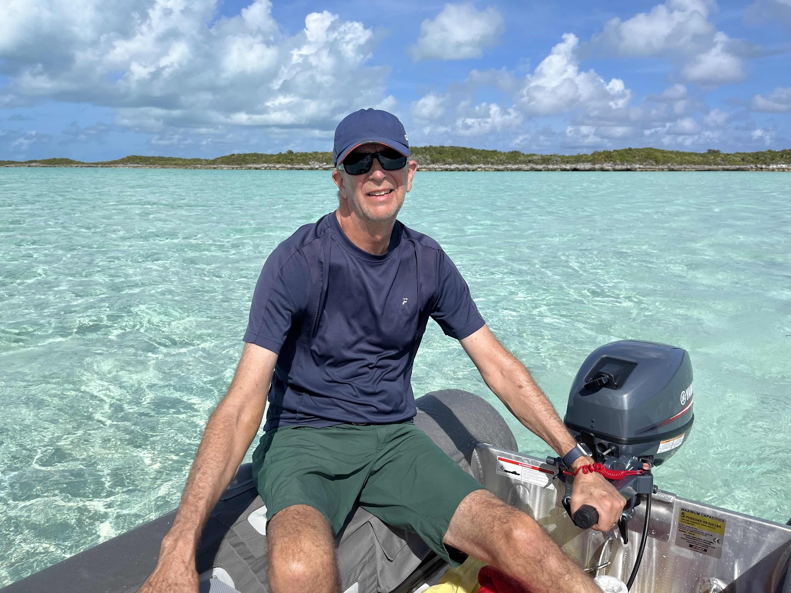
Touring the area and breaking in the motor. George drove with his left hand for a while to rest his right arm. He declined my offer to drive.

Tap the “Where is Breeze On?” link to find us.
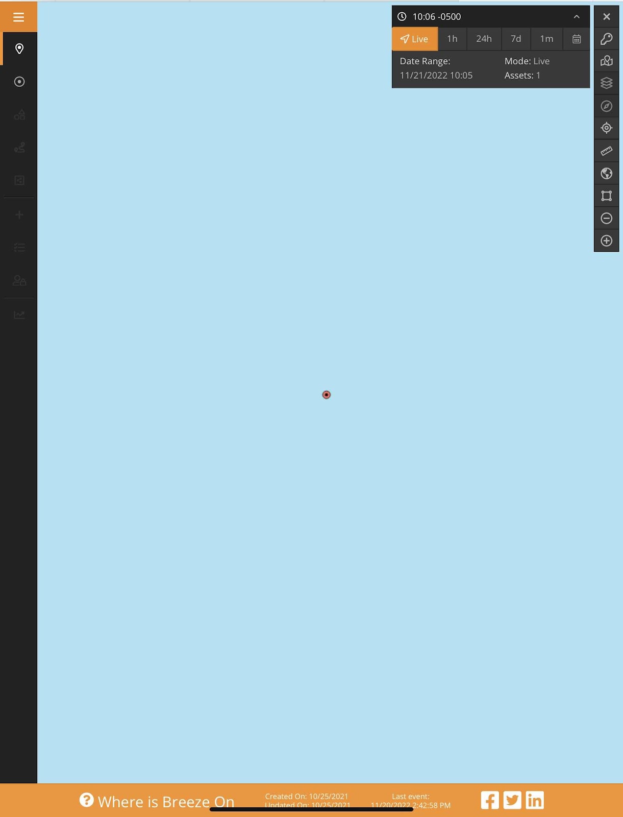
It will open to our current location. Zoom out to get more context.
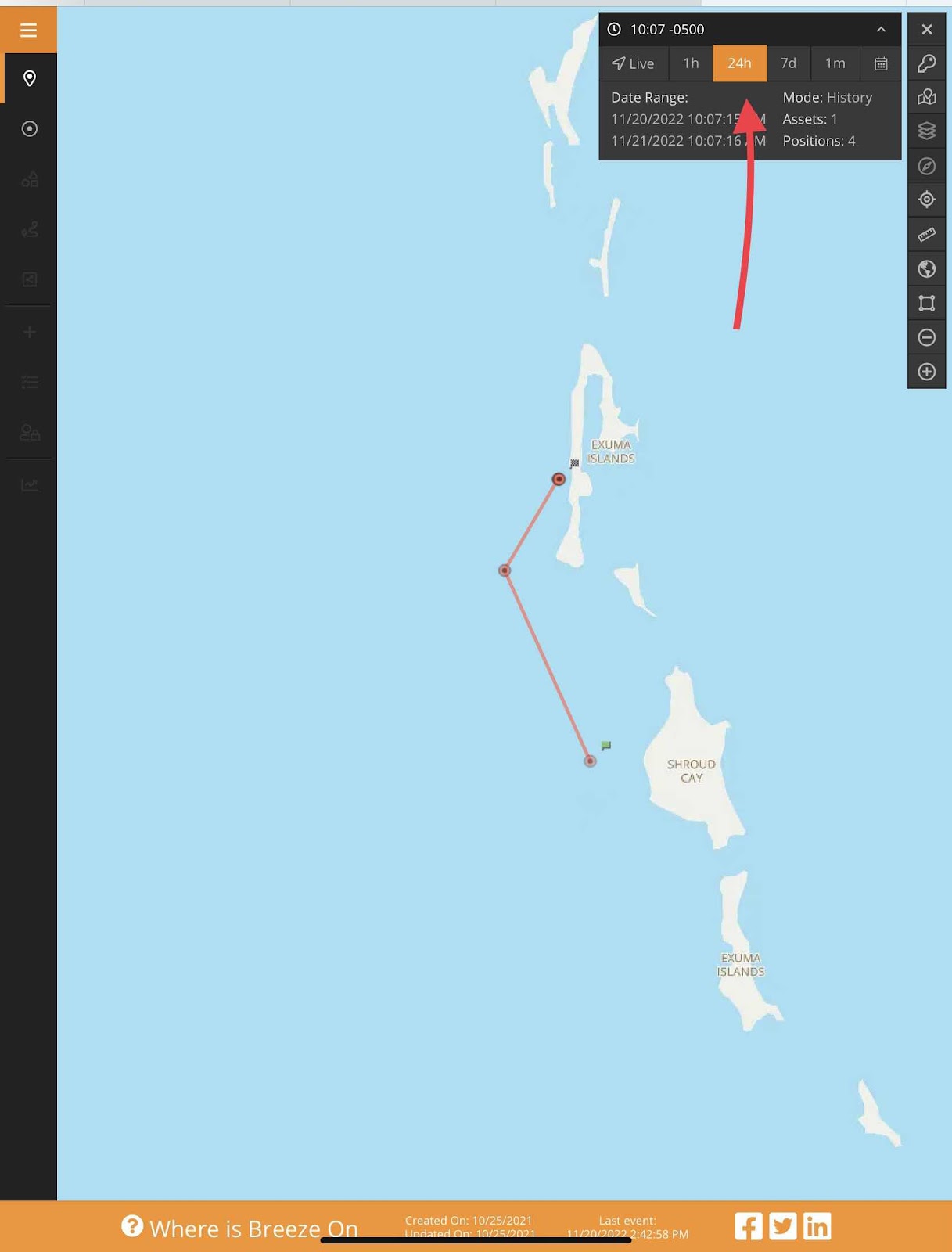
You can change to our location over the past 24 hours…

or past seven days.
Using the Marine Traffic app—or something similar—can be another option to find us.
In the afternoon we decided to move north to Norman’s Cay. It was a bit rolly at Shroud and we hoped for calmer conditions and better cell service at Norman’s. Before leaving Shroud we discussed taking the dinghy through mangrove creek that crosses the island. It is accessible only at high tide and the timing wasn’t right.
Now might be a good time to review how you can find our location if you are interested. One way is to tap on the “Where is Breeze On?” link near the top of the page. That will take you to our Spot Tracker information. We turn the tracker on whenever we move the boat. Another way is through the Marine Traffic app—or any similar app—that links to our AIS. The AIS information will appear in the app only if we are near an AIS receiver. There aren’t many receivers in the Bahamas.
Occasionally someone will say they feel like a stalker if they follow our location. I want to reassure you that we don’t see it that way at all. It is actually comforting to know that people are keeping track of us.
This morning we cleaned the cabin while waiting for a line of squalls to move through. If we don’t get enough sun today to charge the batteries we may be running the portable generator again. Not taking any chances!
Touring the area and breaking in the motor. George drove with his left hand for a while to rest his right arm. He declined my offer to drive.
Tap the “Where is Breeze On?” link to find us.
It will open to our current location. Zoom out to get more context.
You can change to our location over the past 24 hours…
or past seven days.
Using the Marine Traffic app—or something similar—can be another option to find us.
The color of that water is amazing. Heaven on earth.
ReplyDeleteIndeed it is!
Delete