Since our first trip to the Bahamas in 2016 George has used PredictWind software for weather routing. PredictWind takes the weather forecast from several sources and plans a route for the best conditions given the forecast. It includes information on wind, seas, and currents. It will also consider the speed of your boat, given the information you enter into the program. In addition, it has parameters for warnings for wind speed, wave height, storms and even wind chill. George initially ran the models on his laptop while connected to a marina’s WiFi. While we were offshore he could also run the weather routing models using the Iridium Go satellite phone on either the laptop or iPad with the Predict Wind Offshore app.
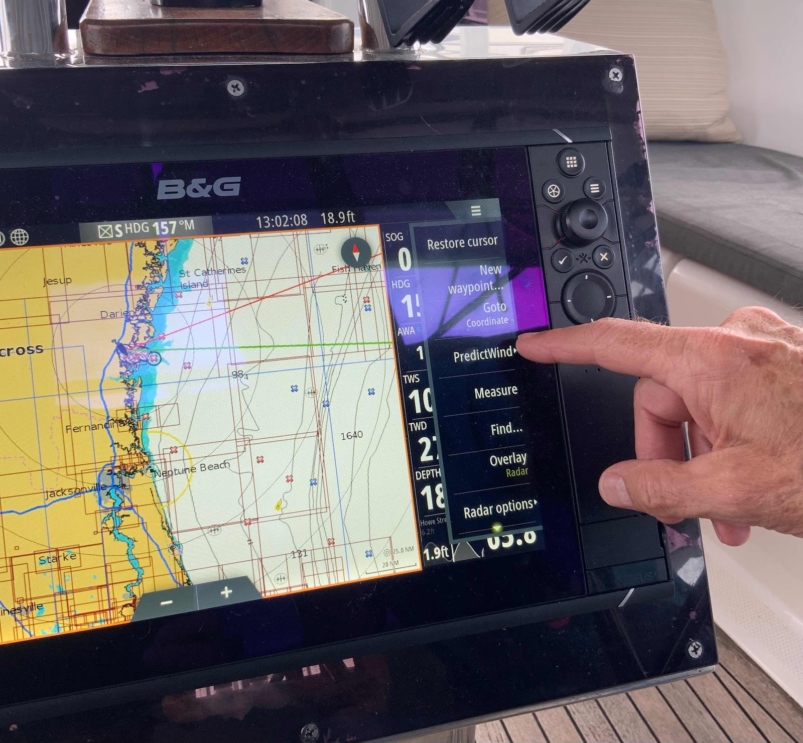
George getting ready to select PredictWind after contacting the chartplotter to WiFi.

Ready to download.

Zoomed in on the four possible routes, each based on a different weather model. Once we select the route we want, we can hide the others.

Wind details for part of the European model route.

Wave details from part of the European model.
We recently watched a “Getting the Most Out of PredictWind” webinar. From that we learned that we could also get information on amount of roll we would experience on a trip if we upgraded the app. If you have been reading this blog for a while you know we very much dislike rolling from side to side. We decided to do a short term upgrade to see if we found the information useful. At the same time, we have noticed that there is a selection for PredictWind on the chartplotter we purchased in 2022. It turns out that with the upgraded PredictWind we can run the models right on the chartplotter. That is a huge timesaver, especially for me! Up until now, I take the waypoints generated by PredictWind and manually enter each waypoint’s coordinates into our chartplotter to develop a route. When I did that last week for our route from Grand Bahama to Charleston, it took me hours to enter over 30 waypoints. It didn’t help that—because of a mistake—I had to enter each one twice. Then we ended up diverting to Brunswick anyway.
We are looking forward to using this feature and expect we may find it worth the extra cost.
George getting ready to select PredictWind after contacting the chartplotter to WiFi.
Ready to download.
Zoomed in on the four possible routes, each based on a different weather model. Once we select the route we want, we can hide the others.
Wind details for part of the European model route.
Wave details from part of the European model.
Comments
Post a Comment